Advanced UAV Imaging System for Professional Drone Operations
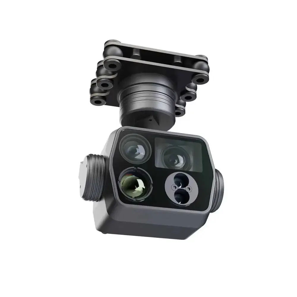
The Skydroid C14 3 Axis Multi-Function Four-Light Camera Gimbal is engineered for demanding industrial and commercial drone missions requiring stable imaging, precision targeting, and multi-scene aerial monitoring. Designed with intelligent 3-axis brushless stabilization technology, the C14 ensures smooth and vibration-free image capture even during dynamic UAV flight operations.
Its advanced multi-function imaging system makes it suitable for aerial inspection, surveillance, rescue operations, agricultural monitoring, infrastructure analysis, and mapping applications.
Intelligent 3-Axis Stabilization
The Skydroid C14 integrates high-performance brushless motors with intelligent stabilization algorithms to maintain stable pitch, roll, and yaw control during flight. This advanced stabilization system reduces vibration and image distortion, delivering professional-quality aerial footage and accurate monitoring data.
The precision-controlled gimbal architecture enhances drone operational efficiency in windy and high-mobility environments.
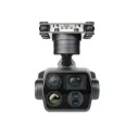
Multi-Function Four-Light Camera System
Equipped with a powerful four-light camera imaging structure, the C14 supports advanced visual monitoring and multi-scene aerial observation. The integrated camera system improves visibility, target identification, and operational flexibility across different environments and lighting conditions.
Its multi-sensor capability makes it ideal for industrial UAV platforms, public safety drones, surveying systems, and smart aerial operations.
Designed for Industrial UAV Applications
The Skydroid C14 is optimized for professional drone integration and long-duration aerial missions. Its lightweight yet durable construction ensures reliable performance while minimizing payload stress on UAV platforms.
The gimbal supports multiple industrial applications, including:
-
Powerline inspection
-
Search and rescue
-
Security surveillance
-
Agricultural monitoring
-
Infrastructure inspection
-
Mapping and surveying
-
Emergency response operations