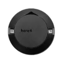
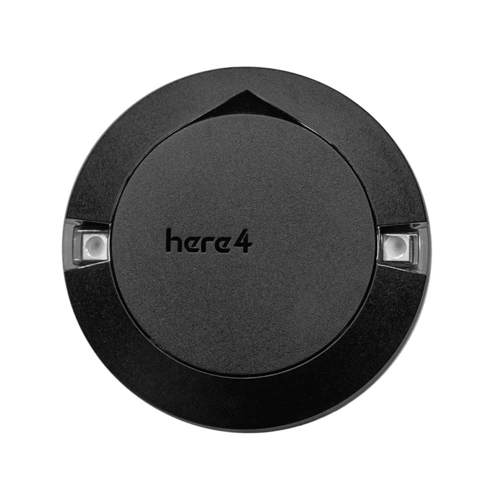
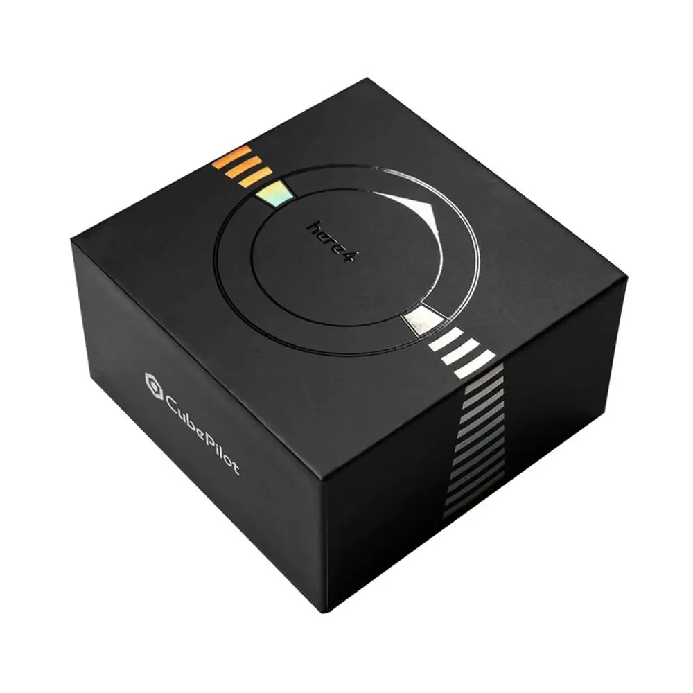
Here4 Multiband RTK GNSS
The Here4 is a high-precision multiband RTK GNSS module built for professional drones and UAVs. By tracking multiple satellite bands and accepting RTK corrections, it delivers centimeter-level positioning for mapping, surveying, precision agriculture, and autonomous flight. It connects over DroneCAN for a clean, reliable setup with Pixhawk and Cube-based flight controllers.
Ideal For
- Aerial mapping and surveying
- Precision agriculture and spraying drones
- Industrial inspection and autonomous missions
- Research and custom UAV builds